Trail Walking Les Monts d'Aunay - mt pincon trois monts - Photo

mt pincon trois monts

 albers
albers

User

© OpenStreetMap contributors
Length
Length
29 km
Max alt
Max alt
360 m
Uphill gradient
Uphill gradient
457 m
Km-Effort
Km-Effort  
36 km
Min alt
Min alt
19 m
Downhill gradient
Downhill gradient
678 m
Boucle
Boucle
No
Creation date :
2014-12-10 00:00:00.0
Updated on :
2014-12-10 00:00:00.0

(0 Reviews)

Walking
Walking
6h00
Difficulty : Difficult

Scan this QR Code to open this trail in the SityTrail application

FREE GPS app for hiking

Logo SityTrail SityTrail

IGN / Geographical institutes

Download SityTrail from the App Store Download SityTrail from Google Play

Logo SityTrail SityTrail World

The world is yours!

Download SityTrail from the App Store Download SityTrail from Google Play Download SityTrail on Huawei AppGallery

About

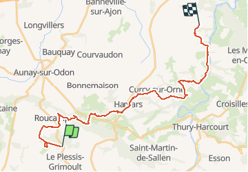
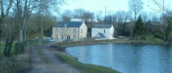
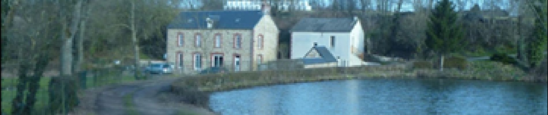
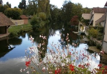
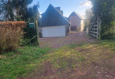
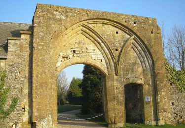
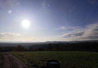
Trail Walking of 29 km to be discovered at Normandy, Calvados, Les Monts d'Aunay. This trail is proposed by albers.

Description

belle randonnée avec beaucoup de descente  en partant du Mt pinçon.
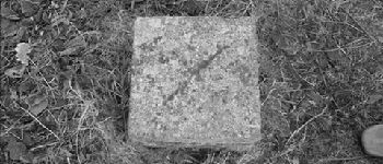
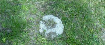
ne pas tenir compte de la petite boucle du départ c''était pour trouver la balise de sommet 363m et oui petit sommet mais sommet!!! de la Normandie.
         

Elevation profile

Photos

Points of interest

Point of interest Les Monts d'Aunay - ballise Mt Pinçon - Photo
albers
LES MONTS D'AUNAY 
Point of interest Les Monts d'Aunay - moulin de Roucamps - Photo
albers
LES MONTS D'AUNAY 

Positioning

Country:
France
Region :
Normandy
Department/Province :
Calvados
Municipality :
Les Monts d'Aunay
Location:
Le Plessis-Grimoult
Start:(UTM)
674711 ; 5427002 (30U) N.

Trails nearby

Trail Mountain bike Les Monts d'Aunay - L'Arbre de la Liberté  - Chartres - Photo
Mountain bike
tracegps

Mountain bike

Medium
Les Monts d'Aunay, Normandy, Calvados, France
2756 km | 3635 km-effort
3h 19min
No
Trail Walking Les Monts d'Aunay - 2022-02-25 balade nous samy  danvou la ferrière gîte - Photo
Walking
rolandmonjean

Walking

Easy
Les Monts d'Aunay, Normandy, Calvados, France
5.3 km | 6.6 km-effort
1h 29min
Yes
Trail On foot Les Monts d'Aunay - Le Mont Pinçon - Photo
On foot
PRO

On foot

Easy
Les Monts d'Aunay, Normandy, Calvados, France
8.2 km | 10.2 km-effort
2h 18min
Yes
Trail Walking Le Hom - Hamars - Photo
Walking
Roulland

Walking

Medium
Le Hom, Normandy, Calvados, France
21 km | 29 km-effort
4h 21min
Yes
Trail Walking Les Monts d'Aunay - ROUCAMPS  2 - Photo
Walking
lensois

Walking

Difficult
Les Monts d'Aunay, Normandy, Calvados, France
8.7 km | 11.2 km-effort
2h 52min
Yes
Trail On foot Les Monts d'Aunay - Les Ferrières de Danvou - Photo
On foot
PRO

On foot

Easy
Les Monts d'Aunay, Normandy, Calvados, France
6.4 km | 7.8 km-effort
1h 46min
No
Trail On foot Périgny - Chemins Creux C - Photo
On foot
PRO

On foot

Easy
Périgny, Normandy, Calvados, France
4.2 km | 5.1 km-effort
1h 10min
Yes
Trail On foot Terres de Druance - Le Ruisseau des Vaux - Photo
On foot
PRO

On foot

Easy
Terres de Druance, Normandy, Calvados, France
10.4 km | 13.4 km-effort
3h 2min
Yes
Trail On foot Les Monts d'Aunay - Sous le Mont d'Ancre - Photo
On foot
PRO

On foot

Easy
Les Monts d'Aunay, Normandy, Calvados, France
13.2 km | 17.3 km-effort
3h 55min
Yes


Close
My subscriptions